Hiking
Hiking
Walking the trails of the Cultural and Natural Space of Las Médulas is probably the most fun and rewarding way to explore its landscapes.
There is something for all tastes and physical levels. These are routes that offer rich experiences and new perspectives thanks to the creation of a close link between the charms of the past and the present that make Las Médulas a wonderful place.

Las Valiñas Trail
ROUTE STATISTICS
Distance: 18.14 km
Positive difference in altitude: 528 m
Negative difference in altitude: 528 m
Technical difficulty: Moderate
Maximum altitude: 982 m
Minimum altitude: 487 m
TrailTank: 24
Type of route: Circular – Download trail
The Valiñas trail, which starts in the village of Las Médulas, can be covered on foot or by bicycle, as it is largely asphalted, although restricted to traffic, as it gives access to the chestnut groves. It starts at the end of the main street, from the Archaeological Learning Centre and next to the Visitor Reception Centre which leads to a barrier where motor vehicles are no longer allowed to enter.
Numerous chestnut trees surround the first steps of the walker along the track that descends gently until it reaches the fountain of Aunt Viviana. After a rest or to quench your thirst, the track continues with its asphalted pavement, making it easier for walkers.
When the pavement turns to earth, a stone wall and a wooden fence accompany the trail until the Cuevona comes into view. This is an insight into the exceptional process of ruina montium of gold mining and the wonders that erosion and the passage of almost 2000 years have carved out of its relief.
After admiring the landscape that can be seen from the entrance to the Cuevona, it is time to climb up to the Encantada. The views at the entrance to this cave are splendid, taking in an impressive panoramic view of the remarkable dimensions of Las Médulas and to see how far mining activity extended.
To return you have to go back from the Cuevona and take a path that emerges on the right through an attractive natural landscape among chestnut trees to go back to the starting point.
It is a circular route of low difficulty with a length of 3.5 kilometres and an elevation of 80 metres. It can be done in one hour on foot or in 30 minutes if cycled.
The trail in pictures


Perimeter Trail
ROUTE STATISTICS
Distance: 14.56 km
Positive difference in altitude: 476 m
Negative difference in altitude: 476 m
Technical difficulty: Moderate
Maximum altitude: 981 m
Minimum altitude: 525 m
TrailTank: 21
Type of route: Circular
It is the longest (14.5 kilometres) of the signposted routes in Las Médulas and is well worth the four-hour walk to enjoy the exceptional views of the Cultural and Natural Space.
To find its starting point, just look at the church of San Simón and San Judas Tadeo in the village of Las Médulas and you will see the first signpost. It leads, through a dirt track, between bushes and huge chestnut tree trunks, along the path that heads towards the village of Yeres.
When you reach a signposted crossroads, continue in the direction of the Pedrices viewpoint. To the left, follow the path that, in barely 0.5 kilometres, runs parallel to the Cabrera mountain range, whose mountainous profile will open up beautifully, towards the west of Las Médulas, when you reach the viewpoint. From its location, the views are overwhelming, with the lakes of Carucedo and Somido, the village of Las Médulas (the starting point), and reaching as far as the Campañana reservoir, surrounded by a reddish landscape of pinnacles and green vegetation.
The path continues uphill and shares a stretch with the Reirigo trail. When you reach a new crossroads you will see the signpost to the galleries and viewpoint of Reirigo. In barely a hundred metres you can see the imposing Reirigo peak and the remains of mining galleries, as well as a new viewpoint with magnificent views of the watchtower.
Returning to the track, the route continues along a beautiful stretch towards Campo La Braña, with views of an exceptional natural panorama and, at the same time, to regain strength by taking advantage of its recreational area, as it has shade and benches, as well as a fountain.
The remains of one of the canals that transported water to the mine can be seen below, while the silhouette of Mount Ferradillo and the Montes Aquilianos begins to emerge. The return route takes us through chestnut trees along the Mirador path and ends at the road near the village of Las Médulas.
It is an ideal route for mountain biking or as a family, if the youngest members of the group are used to hiking. As it is connected to the Valiñas trail, this route can be shortened by following it.
The trail in pictures


Reirigo Trail
ROUTE STATISTICS
Distance: 3.47 km
Positive difference in altitude: 242 m
Negative difference in altitude: 46 m
Technical difficulty: Difficult
Maximum altitude: 974 m
Minimum altitude: 773 m
TrailTank: 24
Type of route: One way
This trail is one of the most attractive in Las Médulas, as it is a constant invitation to delve in and explore it. It crosses and shares the route with other existing trails: the Las Valiñas trail and the Perimeter trail that leads to the Pedrices viewpoint.
The attraction of this itinerary, which starts in the village of Las Médulas, next to the Archaeological Learning Centre, is surprising as it begins its route by overcoming a steep ascent to reach an altitude of 979 metres. This is where the Reirigo viewpoint is located, overlooking a breathtaking panorama of Las Médulas and even the Montes Aquilianos. The effort is therefore rewarded.
The route is punctuated by very interesting elements such as the Mediterranean forest that surrounds it with a rich botanical variety of holm oaks, chestnut trees, cork oaks, strawberry trees, gall oaks and oaks. It also has traces of the old mining efforts represented by boulders or murias(huge accumulations of stones) and the galleries.
It is a nine-kilometre long itinerary of medium-high difficulty that takes three hours to complete in a circular route. The route is not suitable for children who are not used to the mountains, nor for people with vertigo and who prefer trails with little gradient.
The trail in pictures


La Palombeira Trail and La Balouta
ROUTE STATISTICS
Distance: 6.45 km
Positive difference in altitude: 371 m
Negative difference in altitude: 24 m
Technical difficulty: Moderate
Maximum altitude: 755 m
Minimum altitude: 388 m
TrailTank: 11
Type of route: One way
The La Palombeira trail and the gorge of La Balouta make an ideal route to discover the extractive works that were carried out in the Roman mine. It runs for 8.2 kilometres in a circular route that starts and ends in Salas de la Ribera, a village in the municipality of Puente de Domingo Flórez.
The cave of La Palombeira, also known as the Pigeon Cave, is so called because in the past these birds used to nest inside it. The locals took advantage of their abundance by hunting and collecting eggs. They also collected guano to use as fertiliser in the vegetable gardens.
It is an extraordinary chamber with a wide entrance and narrow passage that is normally waterlogged at its bed. Aside from its beauty, the cave has the curiosity of being the result of mining activity.
This is an old tailings drift carved out of the soft slate shale materials by a pickaxe. These deposits were extracted through the interior thanks to the thrust of the water which was then channelled towards the river Sil through the gorge of La Balouta to the area of Salas de la Ribera.
Starting point to visit La Palombeira Cave
To visit the cave of La Palombeira you have to leave Salas de la Ribera. As soon as you leave the village, the path runs through fields of crops between vineyards, olive trees, holm oaks and cork oaks until you reach a high hill.
This is a magnificent natural viewpoint with a good perspective of the route through the valley. The nearest village is Salas de la Ribera and, behind the village, we can see the river Sil, Puente de Domingo Flórez and the neighbouring villages of Sobredo and Quereño, the latter of which is located in the nearby lands of Orense.
When you reach the first crossroads, turn left, while at the second crossroads you can’t get lost. Turn right onto the path that leads to the village of Las Médulas via the Palombeira Cave and Lake Somido in 5.5 kilometres.
The large rocks (boulders), the result of the extraction of the tailings by the push of the water, and a forest of chestnut trees indicate the proximity of the Palombeira cave. Its mouth is striking due to its large 11-metre high opening and the contrasting shades of the grey of the rock and the reddish alluvial substrate against the green of the moss and the abundant plants that cover its most humid corners. The cave bed is usually covered with ferruginous water so it is not possible to walk inside the cave, although it extends for 170 metres.
The trail continues from the cave towards a new fork marked by a large chestnut tree. A short distance away is the uninhabited village of La Balouta. It consists of just six houses, only one of which still has its traditional architecture. Even in ruins, the rural area still retains the charm typical of small traditional villages.
In the area there is an abundance of hackberry, a tree that grows in areas with a milder Mediterranean climate than in the Bierzo region. These trees have white wood, which was once used for lathe work, while their roots were used for yellow dyeing. The hollows in the surrounding limestone rock were used to house stables, ovens and henhouses. Next to its ruined walls, a narrow rocky gorge opens up and offers a pleasant passage for hikers.
Reaching the gorge of La Balouta
The gorge of La Balouta is a short but attractive natural gorge with high walls, where you can see the hollows caused by erosion in the limestone rock, as a result of the abundant water flowing through the area. It is a natural water circulation that the Romans took advantage of to evacuate the water used in mining activities towards the Sil basin.
On leaving the gorge, the walkers are surrounded by chestnut and holm oak trees on a part of the route that runs along an old river bed until reaching the starting point in the village of Salas de la Ribera.
If we choose to do the whole route finishing in Las Médulas (distance of 9.8 kilometres from the start) we must have a vehicle waiting to bring us back, or do the route on foot in a round trip of 19.6 kilometres.
The trail in pictures


Lake Somido Trail
ROUTE STATISTICS
Distance: 1.97 km
Positive difference in altitude: 16 m
Negative difference in altitude: 18 m
Technical difficulty: Easy
Maximum altitude: 744 m
Minimum altitude: 722 m
TrailTank: 21
Type of route: One way
The small Lake Somido (Sumido) is a pleasant walk from the village of Las Médulas. The round trip is just four kilometres long and the trail has a low level of difficulty.
To reach Lake Somido you will pass by meadows and piles of boulders that were extracted from the conglomerates of the mountain, as this was where the old Roman gold-panning site was located to extract the gold.
This is the reason why the itinerary leaves small ponds along the way, in addition to the Pinzais and Larga lagoons and Lake Somido itself, which is the destination of this route. The lake originated from changes to the natural water flow caused by mining operations to channel water through the slurry washing channels from the mountains.
The same materials that were washed away clogged the channels, giving rise to endorheic lakes (without natural drainage), as can be seen today with the presence of Lake Somido. The area was the site of tailings disposal to the Chao de Maseiros plain, but when it was filled in after the mining activity ceased, it gave rise to the small lake.
The lake is an attractive wet spot surrounded by reeds and rushes that practically dries up in summer. It is the habitat of reptiles and amphibians such as the Iberian newt (a species endemic to the northwest of the Iberian Peninsula), the palmate newt, the common salamander, the San Antonio frog, the common toad and the green frog.
The trail, which crosses the last exploited area of the Roman mine, extends to the viewpoint of Chao de Maseiros to obtain an extraordinary panoramic view of the transformations caused by the Roman mine. The valley was filled in with a large part of the tailings as it was where the tailings dejection cone was deposited together with the areas of La Brea in Carucedo and La Balouta. Its accumulation filled the valley, giving rise to Lake Carucedo. Next to the body of water we can see the village of the same name and, in the distance, the Campañana dam.
The trail in pictures


The Zufreiros del Frade Trail
ROUTE STATISTICS
Distance: 6.45 km
Positive difference in altitude: 371 m
Negative difference in altitude: 24 m
Technical difficulty: Moderate
Maximum altitude: 755 m
Minimum altitude: 388 m
TrailTank: 11
Type of route: One way
One of the most spectacular family routes in Las Médulas is the one that leads to the cork oaks or Zufreiros del Frade. It has a distance of 5.8 kilometres round trip. Although the route is uphill (188 metres in height), it is gentle, making it suitable for all levels of hikers.
The start of the trail is well signposted, next to the car park in the village of Lago de Carucedo. Pyrenean oaks, holm oaks, cork oaks and arbutus bushes accompany the walker’s path with very attractive trees and tunnels of vegetation created by the holm oaks.
A recreational area among holm oaks lets us know that we are in the vicinity of the large cork oaks or zufreiros. Long-lived trees with an extraordinary appearance, both for their thick trunks and the breadth of their crowns. Wandering among them you will discover the Frade fountain, where you can breathe in a special atmosphere as the most admirable zufreiros congregate around it.
In ancient times, cork oaks were exploited to make beehives with the cork or bark from their trunks and their acorns were used as food for livestock. To preserve them, it is best not to climb their branches or damage their exceptionally large trunks. This way we help them maintain their natural beauty and extend their life for the enjoyment of those to come.
The trail in pictures

Inspiration for your trip

Your visit to Las Médulas has to start somewhere, and what better place to do it than from one of its viewpoints.

Be prepared to visit as many as you can, because they are home to traditional architecture made from the materials of the surrounding landscape.
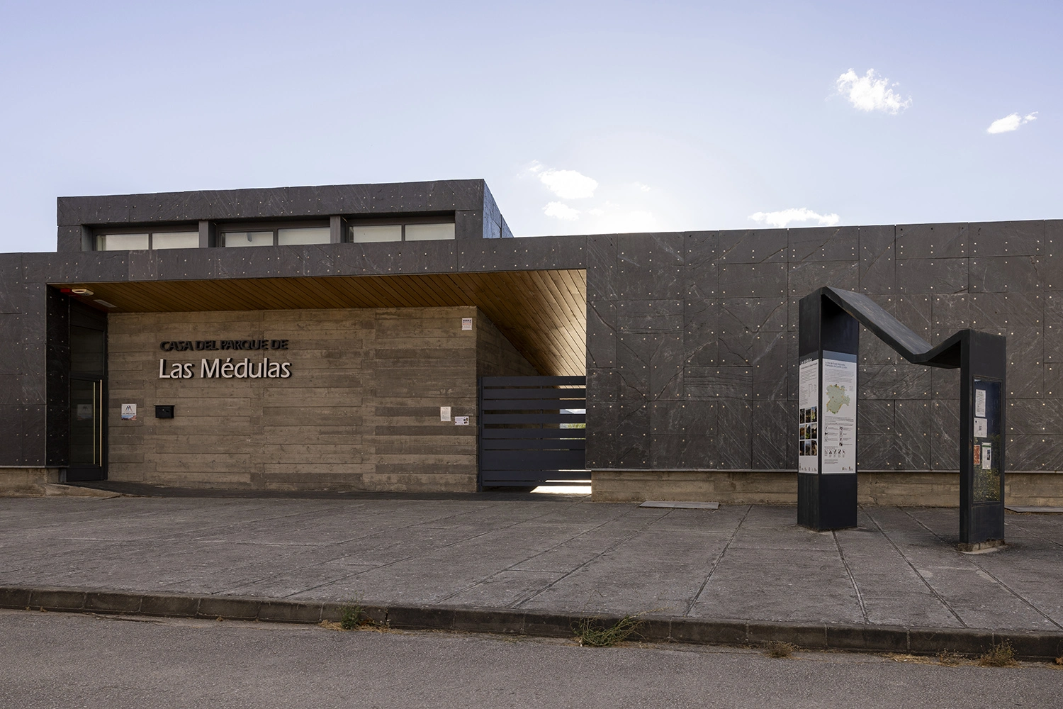
The personalised information they provide according to the interests of visitors is the best way to ensure an unforgettable stay.
News
No Layout Found